Doddaballapura

Featured Image of Doddaballapura


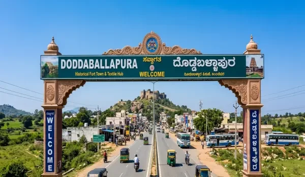
Doddaballapura is a town and taluk in Bengaluru Rural district, Karnataka, about 50 km from central Bengaluru. It lies north of Yelahanka on Doddaballapur Road, also called SH-9. Yelahanka is about 25 km away by road. The town has its own railway station, and its main postal PIN code is 561203. The PIN can change for villages elsewhere in the taluk.

Doddaballapura is known for silk weaving, textile work and industrial areas, as well as Ghati Subramanya Temple and the Makalidurga trek. Its road links now include the NH-648 section of the Satellite Town Ring Road towards Dabaspet. The town has daily services such as schools, a government hospital, private hospitals, buses and rail. These facts make it useful to look at Doddaballapura as both a working town and a part of the wider North Bengaluru region.
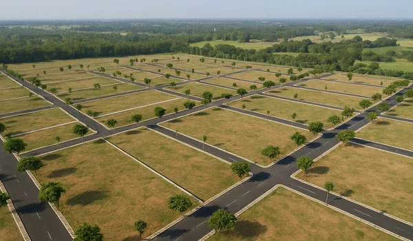
Where Is Doddaballapura Located?


Doddaballapura is north of Bengaluru and Yelahanka, within Bengaluru Rural district. The town is the centre of Doddaballapura taluk. Devanahalli lies to its east, while the Dabaspet side lies to its west. These places connect through the roads around the town, but they are separate destinations with different travel routes.

A map search for Doddaballapura town will usually lead to its bus stand, railway station or town centre. A search for an industrial plot or village in Doddaballapura taluk may lead much farther away. The taluk covers 797 sq. km in the 2011 Census record. That is why an address should include the village or industrial area name, not just “Doddaballapura.”

The spelling Doddaballapur also appears on signs and in some official records. It refers to the same town. For post, the Dodballapura post office uses 561203; nearby villages may use another PIN.

Doddaballapura Distance from Bengaluru, Yelahanka and the Airport


The distance to Doddaballapura depends on where the trip begins. Central Bengaluru to Doddaballapura is about 50 km in a state planning record. Yelahanka to Doddaballapura is about 25 km by road. Devanahalli town is about 22 km by road from Doddaballapura. These are guides to the town, not distances to every village in the taluk.

Kempegowda International Airport is roughly 28 km from Doddaballapura town by a direct driving route. The road chosen, terminal and start point can change the trip length. Airport buses may take a longer route with a transfer, so their travel time should not be judged from the direct driving distance.

How to Reach Doddaballapura by Road


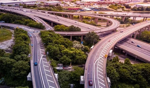
SH-9 is the main road from Yelahanka to Doddaballapura. From Bengaluru, drivers pass through the Yelahanka side and continue north towards the town. The same road runs on towards Gauribidanur and the Andhra Pradesh border. It is the route most people mean when they say “Doddaballapur Road” in North Bengaluru.

NH-648 gives Doddaballapura an east–west road link. The 42 km Dabaspet–Doddaballapura Bypass section was opened to traffic in June 2024, according to the National Highways Authority of India. It lets traffic reach the Dabaspet and NH-48 side without first driving through central Bengaluru. It also serves industrial areas along its route. This section is open; that does not mean every part of the wider Satellite Town Ring Road is complete.

For a daily commute, the last few kilometres matter. A factory at Bashettihalli, a shop in the town centre and a home near a village road may all have a Doddaballapura address. Each will have a different turn from SH-9 or NH-648.

Does Doddaballapura Have a Railway Station or Metro?


Yes, Doddaballapura has a railway station. Its station code is DBU. The rail line links the town with Yelahanka and other places on the route north of Bengaluru. Check the train and its stops for the day of travel, since a station’s presence does not mean every service stops there.

Doddaballapura does not have a Namma Metro station. People travelling from Bengaluru use road buses, private vehicles or rail for the trip to town. Metro may form one part of a longer journey within Bengaluru, but it does not take passengers into Doddaballapura. This is an important point for anyone comparing a town address with a home beside an operating metro line.

What Is Doddaballapura Famous For?


Doddaballapura is well known for its silk sarees and weaving history. The Bengaluru Rural district administration identifies Doddaballapura town and nearby villages as handloom centres. It describes the use of silk yarn and zari in traditional sarees made for weddings and festivals. The town’s textile identity sits alongside newer apparel and factory jobs.

The area is also known for Ghati Subramanya Temple and Makalidurga Hill. Ghati Subramanya is an old pilgrimage site in Doddaballapura taluk. Makalidurga draws people for its hill trail, fort remains and views. Both are trips outside the main town rather than sites in its shopping streets.

Industries and Jobs in Doddaballapura


Textiles remain an important part of the local economy. Karnataka’s investment agency lists an integrated textile park in Doddaballapura. The wider belt also has apparel units and other factories in and around its industrial areas. This creates work in production, packing, transport, machine upkeep and support services.

The industrial map is larger than the town centre. Bashettihalli, Obadenahalli and other villages appear in the taluk’s official village records. A job may be advertised as “Doddaballapura” while its gate is several kilometres from the bus stand or railway station. Workers should use the full company address when checking a route.

Karnataka has also listed KWIN City among KIADB’s upcoming projects. It is a planned knowledge, health and innovation development in the wider Doddaballapura–Nelamangala region. It should be treated as a future project when judging current jobs and daily services in Doddaballapura.

Schools and Hospitals in Doddaballapura


Doddaballapura has schools within the town and around its villages. Jawahar Navodaya Vidyalaya at Bashettihalli Post is listed by CBSE as a senior secondary school. National Pride School lists its address on Kongadiyappa College Road in Karenahalli. For study after school, the state’s college listing includes Government First Grade College, Doddaballapura. These are separate campuses, so families should check travel from their exact home address.

For health care, the taluk has a government general hospital and local health centres. Manipal Hospital Doddaballapur is at Bashettihalli and lists care for children, women and bone and joint needs, among other services. A district health record lists 16 primary health centres across Doddaballapura taluk. That is a taluk-wide figure, not a count of hospitals within the town.

Places to Visit Near Doddaballapura


Ghati Subramanya Temple is about 15 km from Doddaballapura. The temple is known for the worship of Subramanya and Narasimha. It draws visitors through the year, with larger crowds around festivals. Check temple timings before leaving, especially if the trip includes a specific ritual.

Makalidurga Hill is also about 15 km from the town. The trail leads towards old fort remains and a hilltop shrine. The path is rocky, so it calls for walking shoes and water. Karnataka Tourism also lists it as a trek in Bengaluru Rural. Check the current trek entry rules before setting out.

Visitors with more time can plan a wider Bengaluru Rural trip that includes Devanahalli Fort. It is a different town, so it makes more sense as a second stop than as a site within Doddaballapura. This distinction helps when planning a day out with children or older family members.

Doddaballapura Real Estate: What Should Buyers Check?


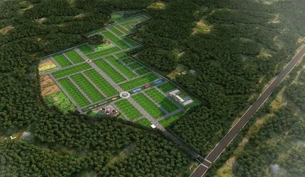
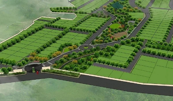
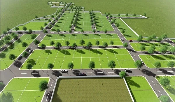
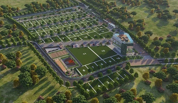
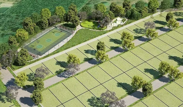
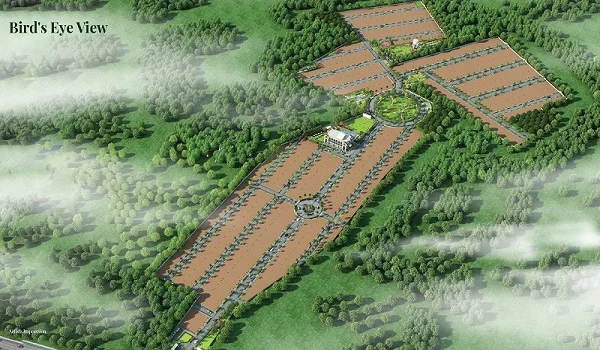
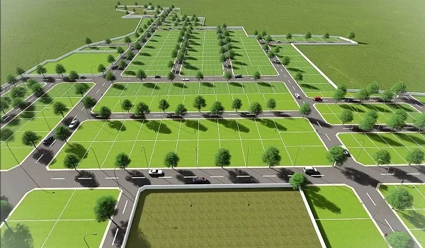
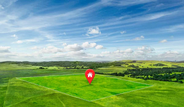
Doddaballapura has town homes, land near industrial areas and plots in the surrounding villages. The difference between them is practical. A town property may be closer to shops, buses and the railway station. A plot farther out may need a longer drive for school, a hospital or daily shopping.
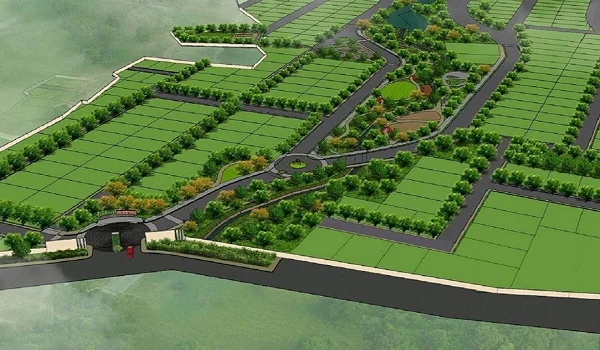
Check the village name, road access, water supply and approved layout for the exact site. A 30 × 40 ft plot measures 1,200 sq. ft., while a 40 × 60 ft plot measures 2,400 sq. ft. Those sizes tell you the land area, but not whether both plots have the same road, services or travel time. The PIN 561203 applies to the town post office and several nearby places; it is not proof that a plot is in the town centre.

Latest Doddaballapura Road and Development Updates: October 2026


The Dabaspet–Doddaballapura section of NH-648 is open. NHAI records that its 42 km stretch began carrying traffic in June 2024. This is an existing road link that drivers can use today. KWIN City, by comparison, remains listed as an upcoming development by KIADB.

On the city approach, the Yelahanka flyover on Doddaballapur Main Road was still facing delays in a September 2026 update. Its reported target had moved to December 2026. Drivers should allow for road work on the Yelahanka side and check the current route before a timed trip. A target date is not an opening date.

Purva Heron in the Wider North-West Bengaluru Region


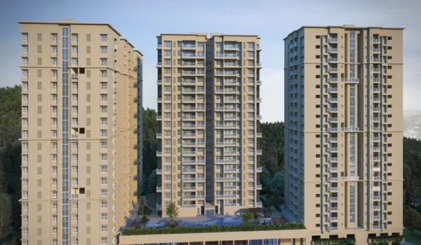
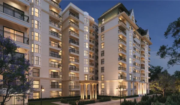
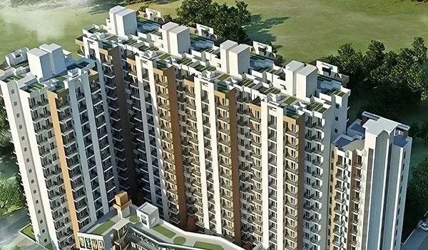
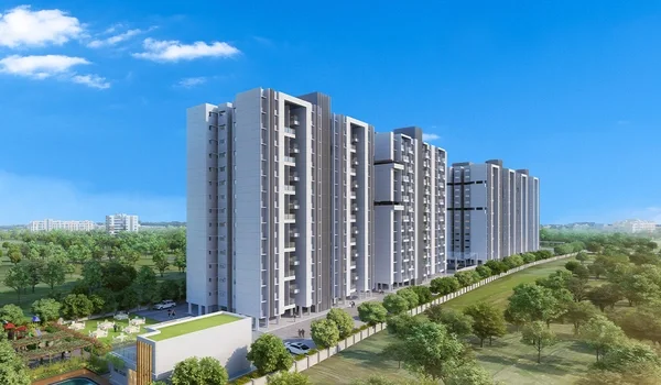
Purva Heron is a planned high-rise project in Mallasandra, off Tumkur Road in North-West Bengaluru. Its plan has four towers on 7 acres, with about 650 apartments and a 2.8-acre central park. It suits a different daily route from a home in Doddaballapura town: Mallasandra is nearer the Tumkur Road, Peenya and Nagasandra belt, while Doddaballapura has its own town centre, rail stop and industrial areas.

Someone comparing the two places should start with the workplace and the daily trip, then look at the type of home. A Purva Heron apartment and a Doddaballapura plot may both appear in a North Bengaluru property search, but their access to services and transport is different.

Sattva Group Prelaunch Project is Sattva Ekatra.

FAQs


1. Which district is Doddaballapura in?

Doddaballapura is in Bengaluru Rural district, Karnataka. It is both a town and the name of a taluk.

2. How far is Doddaballapura from Bengaluru?

It is about 50 km from central Bengaluru, depending on the starting point. From Yelahanka, the road distance is about 25 km.

3. What is the PIN code of Doddaballapura?

The Dodballapura town post office PIN is 561203. Some villages in the wider taluk use other PIN codes.

4. What is Doddaballapura famous for?

It is known for silk weaving and textile work. Ghati Subramanya Temple and Makalidurga Hill are well-known places in the taluk.

5. Does Doddaballapura have a metro station?

No. Doddaballapura has a railway station, coded DBU, but Namma Metro does not run to the town.

6. Is the Satellite Town Ring Road open at Doddaballapura?

The 42 km Dabaspet–Doddaballapura Bypass section of NH-648 is open. NHAI says it opened to traffic in June 2024. This does not mean the full ring-road network is complete.

7. Is Doddaballapura the same as Devanahalli?

No. They are separate towns in Bengaluru Rural district. The road distance between their town centres is about 22 km.

Sattva Ekatra Blog


Enquiry
Enquire Now